Sidewalk and Pedestrian Safety Program
Every trip begins and ends as a pedestrian, and pedestrians are the most vulnerable users of our streets. People walk for a variety of reasons--whether it's to travel for work, stop by the store, or simply for recreation. No matter the reason, the best walks are along streets that are comfortable, attractive, well-proportioned to adjacent buildings, and lined with interesting activities. Charlotte's streets are our primary public space, and their designs should offer a safe, beautiful, and stimulating pedestrian experience.
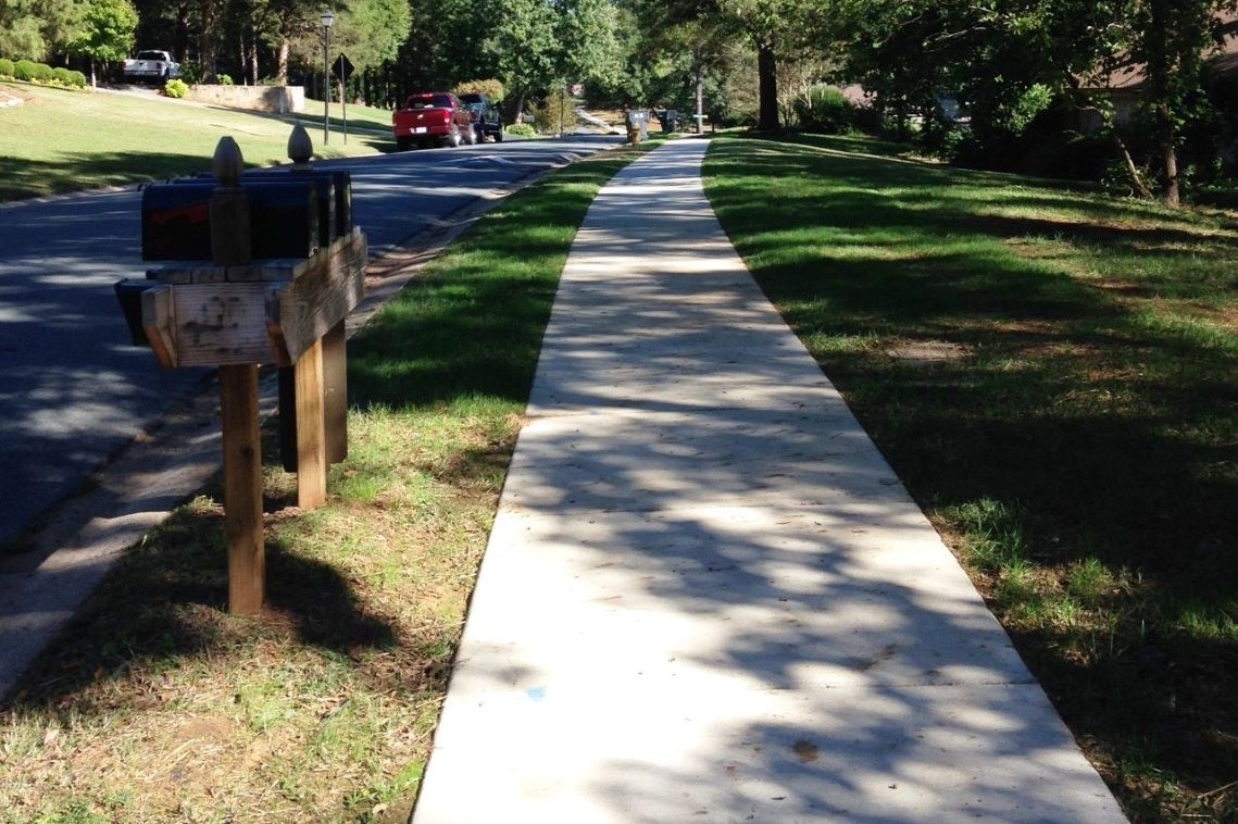
Sidewalk Program Overview
Providing a safe, useful, and inviting pedestrian environment will encourage more walking trips, resulting in a sustainable, healthy, and equitable mobility option for residents and visitors alike. Guided by City Council's adopted Strategic Mobility plan, the Sidewalk Program will be used to construct new sidewalk on all arterials and collectors with missing sidewalk.
With the support of $50 Million dollars from bonds that voters approved in 2022, Charlotte staff will work with public and private partners to build a connected, safe, and comfortable pedestrian system that reflects Charlotte's many contexts and supports people's ability to walk or roll, no matter their age or ability.
If you have any questions/inquiries regarding streets with missing sidewalks, please contact the Sidewalk Program at sidewalks@charlottenc.gov.
For a list of active sidewalk projects, visit the Sidewalks page on the Citywide Projects Portal.